
A new town - without a new town plan.
24,000 homes. One tiny district. A new town by stealth.
Pause now - and get the plan right
We're calling for a short pause so evidence can be properly gathered before the Local Plan is fixed
The issue
- 15,000 homes clustered in one tiny area - and another almost 9,000 right next door
- No cumulative impact assessment
- No infrastructure plan
- Villages at risk of being absorbed
- Alternatives dismissed too early

Affected villages
The impact falls most heavily on the historic ring of villages between Huntingdon and St Ives:
Houghton, Wyton, Wyton-on-the-Hill, Hemingford Abbots, Hemingford Grey, Fenstanton, Broughton, Holywell, Needingworth, Bluntisham, Kings Ripton, and Hartford
nine of those were recorded in the Domesday Book
Why we're concerned
The North Huntingdon and St Ives Cumulative Impacts Group is calling for a short pause at Regulation 18 because key evidence is missing - without this evidence, the plan risks failing at Examination, causing years of delay, higher costs, and loss of local control. Missing evidence includes:

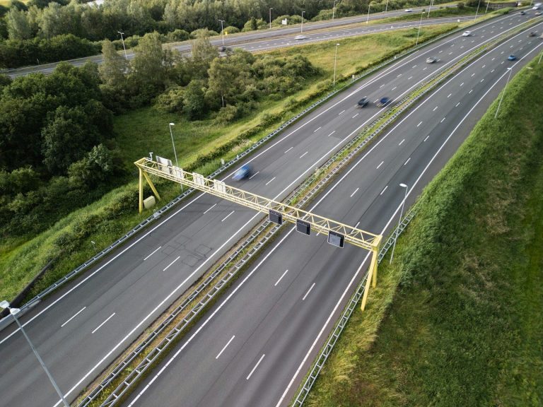
Cumulative impact on roads, health, schools, water and sewage
Infrastructure required for a settlement of this scale

Deliverability of the proposals

Alternatives ruled out early, including the carbon neutral new town concept at Sibson
10 questions the District Council MUST answer
Huntingdonshire District Council’s emerging Local Plan proposes 15,000+ new homes within a five mile radius of Houghton & Wyton - the equivalent of building two more St Ives towns in a tiny area. And there are a further nearly 9,000+ homes proposed almost immediately next door. That's 24,000 new homes in a very small area.
Although presented as separate sites, the impact of these allocations on existing and new residents would be the same as that of a single strategic settlement.
And the evidence needed to show the area can cope has not yet been produced.
The District Council has a responsibility to existing residents to answer these questions:
1. What is the cumulative impact of the combined 24,000 homes on roads, health, schools, water and sewage?
2. Where is the joined up infrastructure plan for a settlement of this scale?
3. Who is responsible for delivering infrastructure?
4. Why are the sites treated as separate allocations when they will have the impact of a single settlement?
5. Why were alternatives - including the carbon neutral new town concept at Sibson - ruled out early?
6. Where is the evidence that the area can cope with this scale of growth?
7. How will the plan avoid the failures seen in other districts where evidence was incomplete?
8. What is the plan for river crossings and constrained road networks?
9. How will agricultural land loss be mitigated or justified?
10. What safeguards are in place to prevent the plan being found unsound at Examination?
Timeline - where we are now, and what happens next
Now:
We're at Regulation 18 - evidence can still be added and tested,
Plans can still be changed
Next:
Regulation 19 - strategy becomes fixed
Making changes here is nearly impossible
After:
Examination - the plan is submitted to the Planning Inspectorate; here is where weak evidence risks the plan being delayed or even withdrawn
if the Planning Inspectorate throws the plan out due to the evidence gap, the DC will have lost money and time - and, potentially, control